

Tool profile
Overpass Turbo
OpenStreetMap query interface for geospatial clues
Claims and corrections are reviewed before public profile changes.
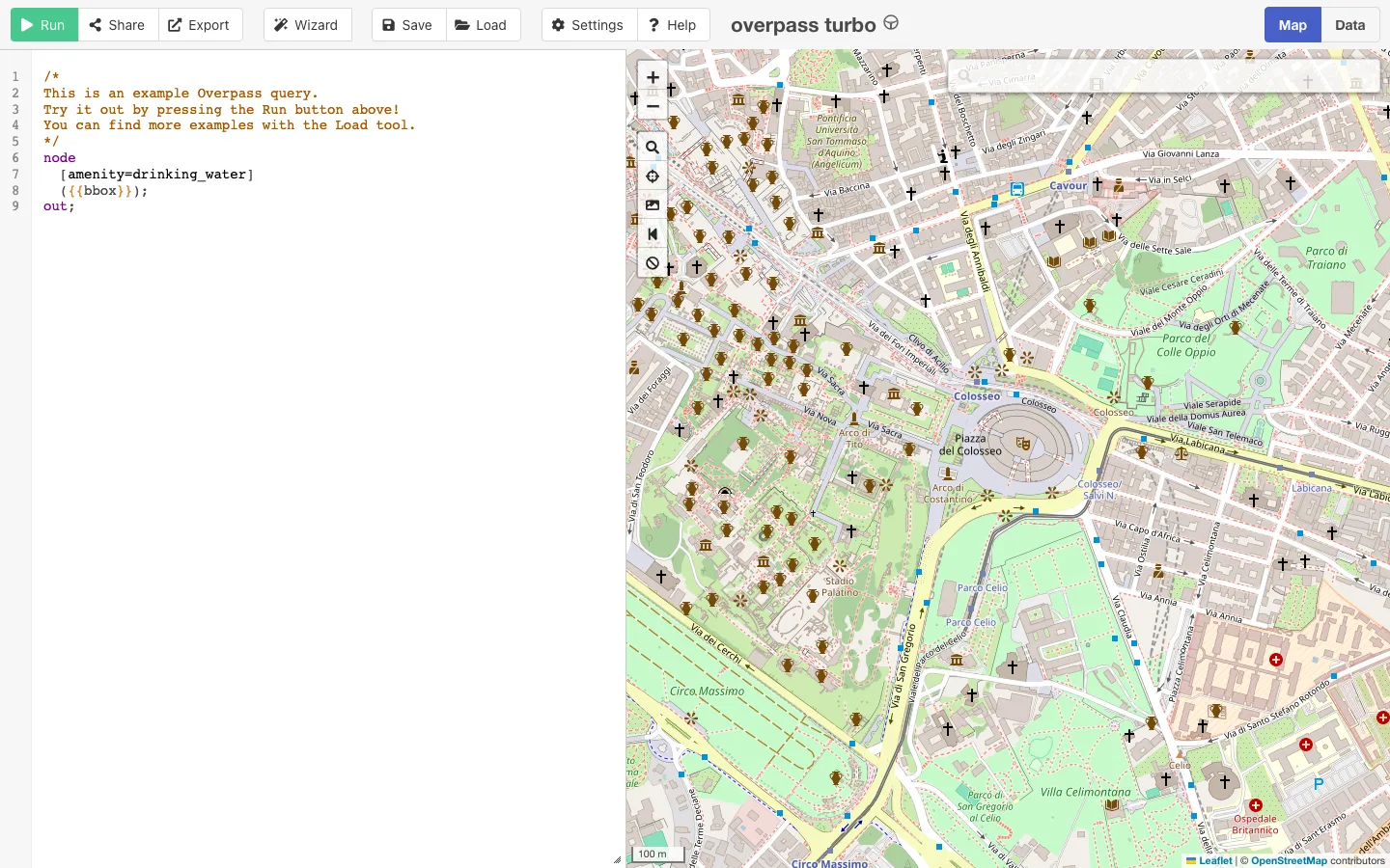

Live interface preview
OpenStreetMap community
OpenStreetMap query interface for geospatial clues
Best for: Querying OpenStreetMap features, tags, routes, amenities, infrastructure, and geographic context around a specific area or route.
Signal summary
Trust / disclosure
How to read this profile
Editorial line
Editorial judgment and commercial context are kept separate on OSINT4ALL.
Review status
Hands-on notes or editorial review dates are attached where available.
Claims / submissions
Corrections and claim requests are reviewed before any public change is made.
Commercial context
No commercial relationship is disclosed on this profile.
Editorial verdict
Use case and fit
This is editorial guidance, not vendor copy.
Querying OpenStreetMap features, tags, routes, amenities, infrastructure, and geographic context around a specific area or route.
Strong supporting tool when an analyst knows exactly which feature class matters to a geolocation or field-context question.
Best when OpenStreetMap needs precise feature queries, exports, and map context beyond normal search.
Operational snapshot
Workflow, access, and coverage
Define the area, query one feature class, inspect returned tags, export only relevant objects, then verify critical places with imagery or independent records.
Place names, local tags, and transliterations can vary. Search by geometry and tags, not only by English names.
Limits
Strengths, caveats, and risk
Powerful feature extraction from open map data, flexible queries, useful exports, and strong fit for geolocation or infrastructure context.
The query language has a learning curve, and empty or messy results can come from syntax issues or uneven OSM coverage.
OSM data is community-maintained and not an official record of current conditions, legal status, or complete infrastructure coverage.
Map tags can be outdated, locally interpreted, incomplete, or wrong; do not treat them as official status without corroboration.
Respect OpenStreetMap attribution and license requirements when reusing or publishing derived map data.
Treat OSM output as mapped context. Verify publication-critical claims with imagery, official datasets, local reporting, or field evidence.
Alternatives
Alternatives
Maintenance
Last verified & suggest an update
Help keep this profile accurate. Update requests are reviewed and logged before publication.
Last verified: 2026-05-07
If something is outdated, please submit a correction or verified update request. Claim requests are reviewed and do not grant editorial control.
Commercial or sponsorship requests use the separate partner workflow.