

Tool profile
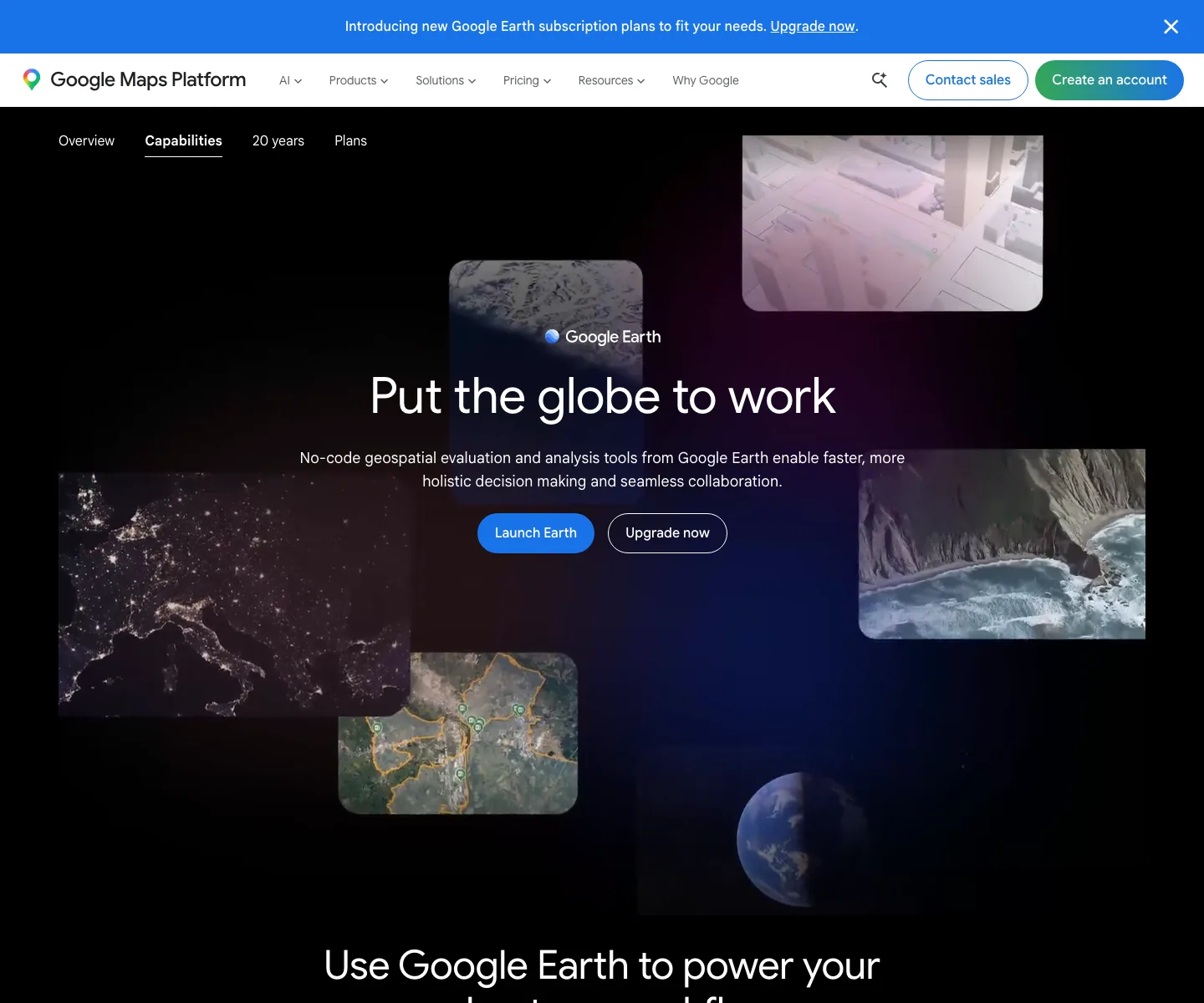
Google Earth
Terrain, imagery, and 3D context for geolocation
Claims and corrections are reviewed before public profile changes.

Live interface preview
Terrain, imagery, and 3D context for geolocation
Best for: Geolocation orientation, terrain review, historical imagery checks, 3D context, landmark comparison, and scene reconstruction before final corroboration.
Signal summary
Trust / disclosure
How to read this profile
Editorial line
Editorial judgment and commercial context are kept separate on OSINT4ALL.
Review status
Hands-on notes or editorial review dates are attached where available.
Claims / submissions
Corrections and claim requests are reviewed before any public change is made.
Commercial context
No commercial relationship is disclosed on this profile.
Editorial verdict
Use case and fit
This is editorial guidance, not vendor copy.
Geolocation orientation, terrain review, historical imagery checks, 3D context, landmark comparison, and scene reconstruction before final corroboration.
Use it to narrow and document location hypotheses, then corroborate before publishing precise claims.
Best for geolocation work that needs terrain, historical imagery, 3D context, and scene orientation before final proof.
Operational snapshot
Workflow, access, and coverage
Start from visible clues, build candidate locations, compare terrain and landmarks, check imagery date, then corroborate with street-level views, satellite history, SunCalc, and source context.
Map labels and place names may vary by language, script, transliteration, and local naming convention.
Limits
Strengths, caveats, and risk
Highly accessible way to inspect place, terrain, and historical imagery context across many regions.
Imagery dates, resolution, and 3D detail vary; some regions have limited or outdated visual context.
Not a complete forensic geolocation suite and not an official record of current conditions, property boundaries, or event timing.
Misreading imagery dates, perspective, shadows, or similar-looking places can produce confident but wrong geolocation claims.
Avoid exposing sensitive locations or vulnerable people unless there is a clear public-interest reason and publication standard.
Treat visual matches as confidence-building evidence, not proof, until the timeline and independent context align.
Alternatives
Alternatives
Maintenance
Last verified & suggest an update
Help keep this profile accurate. Update requests are reviewed and logged before publication.
Last verified: 2026-05-07
If something is outdated, please submit a correction or verified update request. Claim requests are reviewed and do not grant editorial control.
Commercial or sponsorship requests use the separate partner workflow.