

Collection
Satellite and Geolocation Verification Stack
Editorial
11 tools
3 curated picks
A map-led stack for checking places, routes, imagery, sunlight, crowd claims, and environmental context.
Collection
A map-led stack for checking places, routes, imagery, sunlight, crowd claims, and environmental context.
Tools in this collection
Scan the stack, then open profiles for caveats, pricing, and disclosure context.

Live interface preview
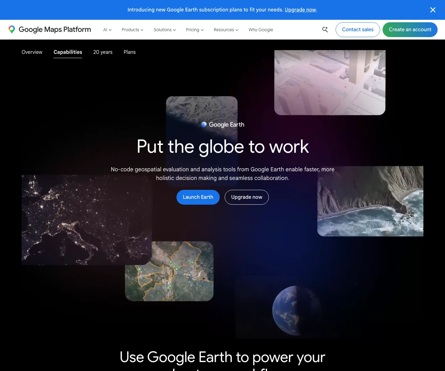
Terrain, imagery, and 3D context for geolocation
Best for: Geolocation orientation, terrain review, historical imagery checks, 3D context, landmark comparison, and scene reconstruction before final corroboration.
Terrain, imagery, and 3D context for geolocation

Live interface preview
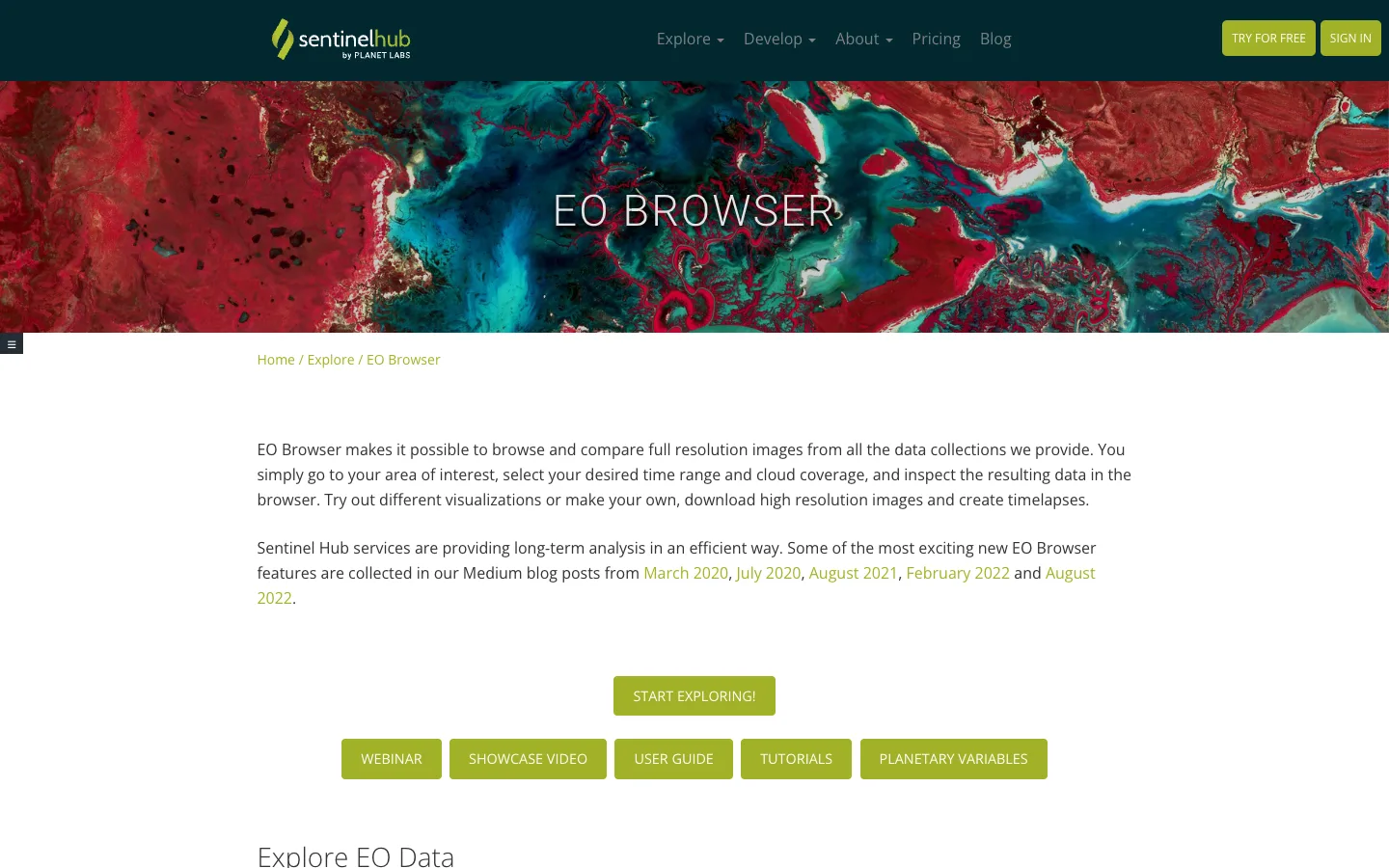
Sentinel Hub
Browser-based satellite imagery exploration
Best for: Browser-based satellite imagery comparison by date, location, cloud coverage, data collection, visualization layer, and time window.
Browser-based satellite imagery exploration

Live interface preview
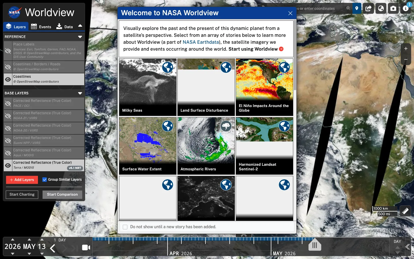
NASA Earthdata
NASA satellite imagery browsing
Best for: Use it when a geospatial question needs environmental, fire, smoke, weather, or satellite-layer context over time.
NASA satellite imagery browsing

Live interface preview
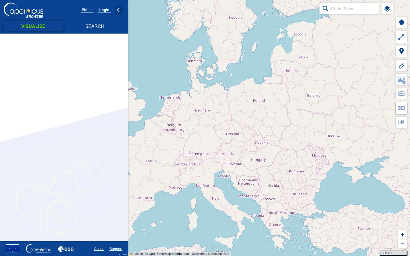
Copernicus Data Space Ecosystem
Copernicus satellite data browser
Best for: Use it when a case needs sensor-aware European satellite imagery, dates, cloud context, or downloadable scenes.
Copernicus satellite data browser

Live interface preview
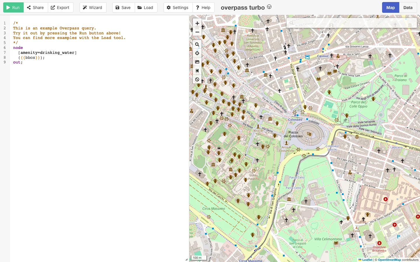
OpenStreetMap community
OpenStreetMap query interface for geospatial clues
Best for: Querying OpenStreetMap features, tags, routes, amenities, infrastructure, and geographic context around a specific area or route.
OpenStreetMap query interface for geospatial clues

Live interface preview
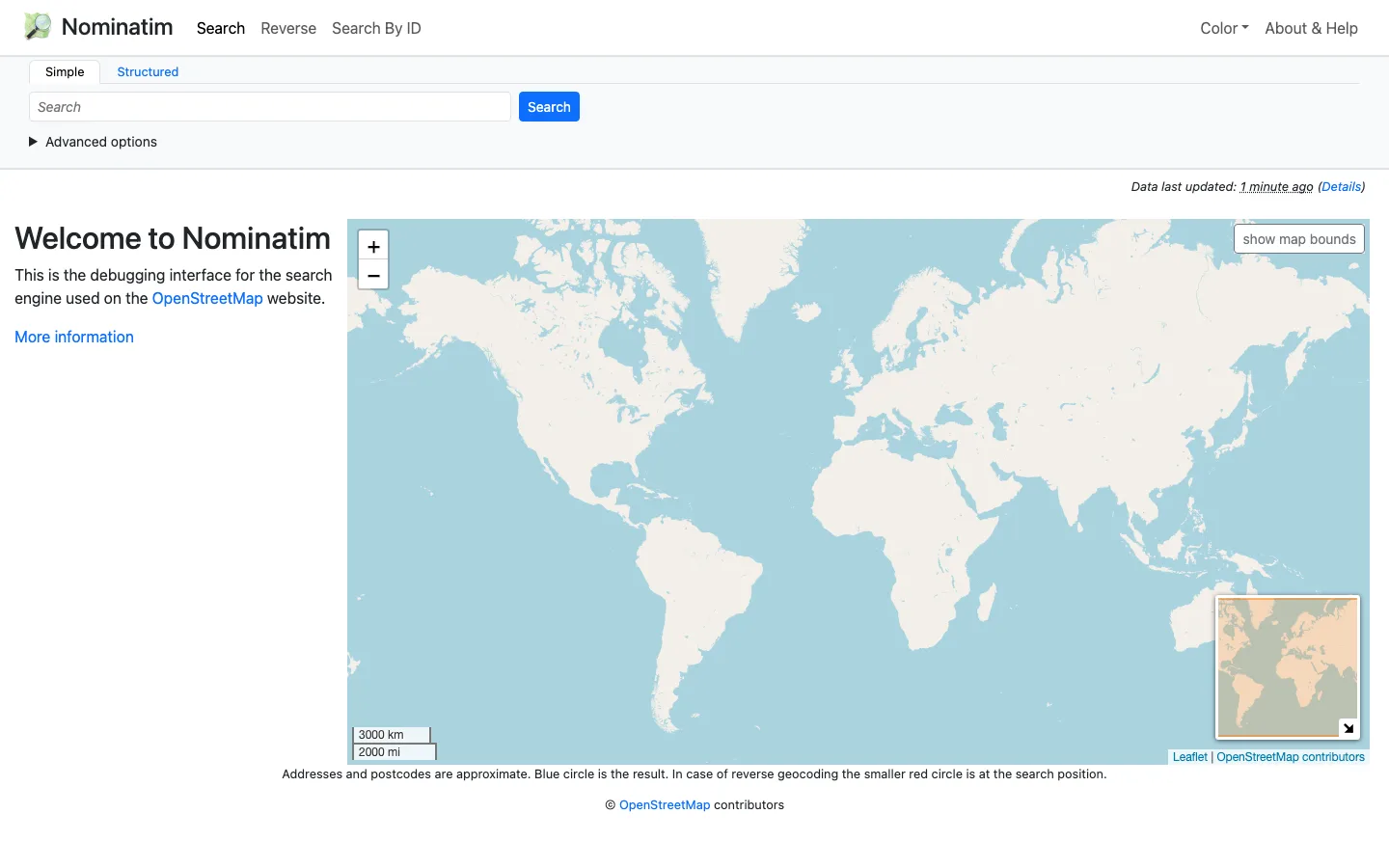
OpenStreetMap Foundation
OpenStreetMap geocoding and search
Best for: Use it when a place name, address, or coordinate needs open-map context and geocoding caveats.
OpenStreetMap geocoding and search

Live interface preview
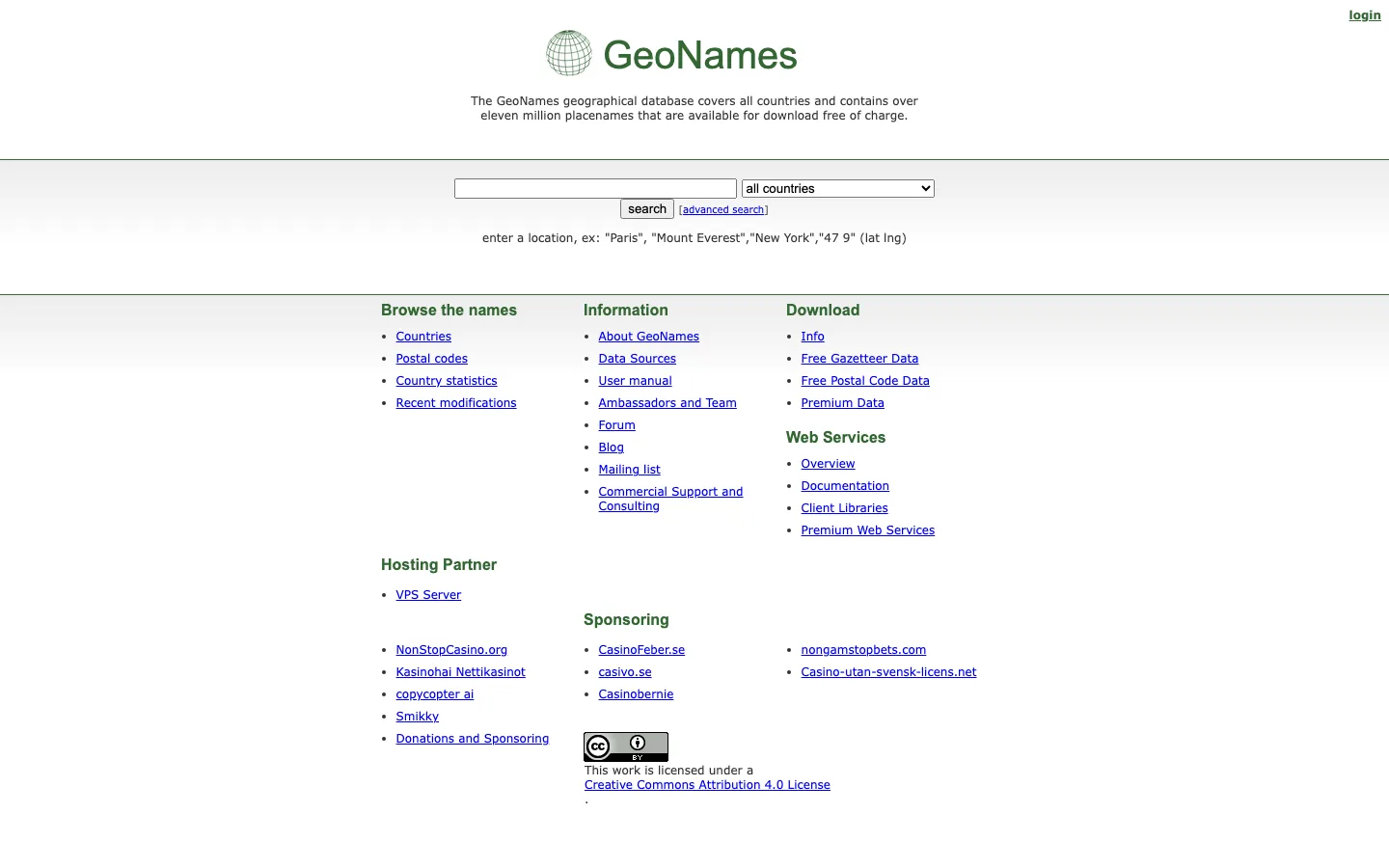
GeoNames
Structured geographic names database and gazetteer
Best for: Use it when a place, transliteration, or geographic entity needs structured gazetteer context.
Structured geographic names database and gazetteer

Live interface preview
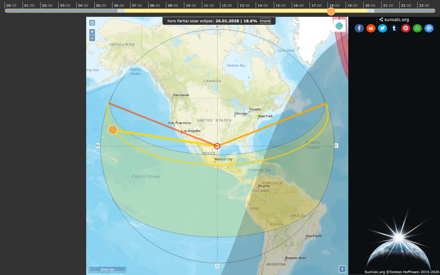
SunCalc
Sun and shadow checks for visual verification
Best for: Sunlight, shadow, time-of-day, and geolocation support when a known or suspected location can be tested.
Sun and shadow checks for visual verification

Live interface preview
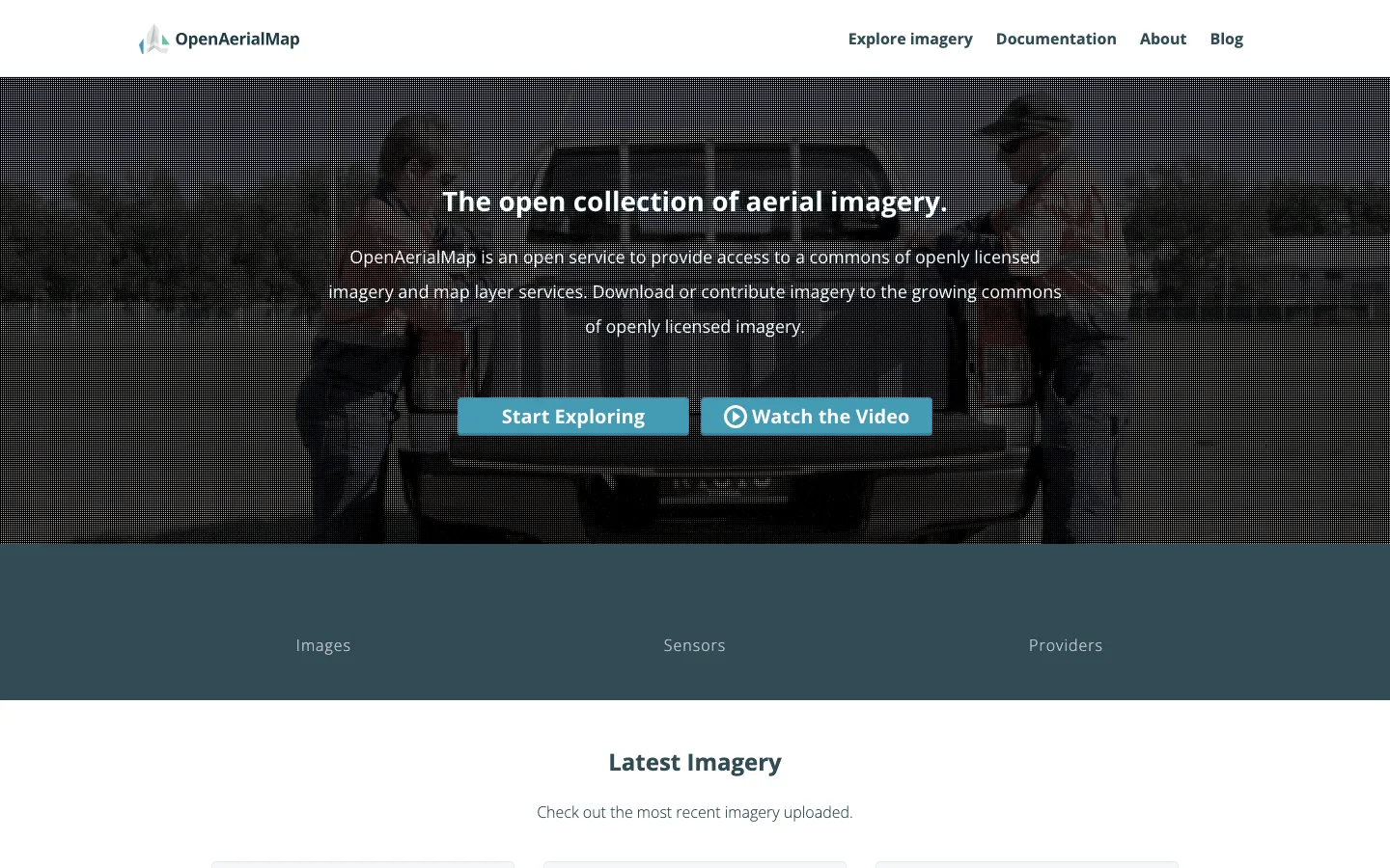
OpenAerialMap
Open aerial imagery catalog for mapping workflows
Best for: Use it when a geospatial workflow needs open imagery that can be inspected or reused with licensing context.
Open aerial imagery catalog for mapping workflows

Live interface preview
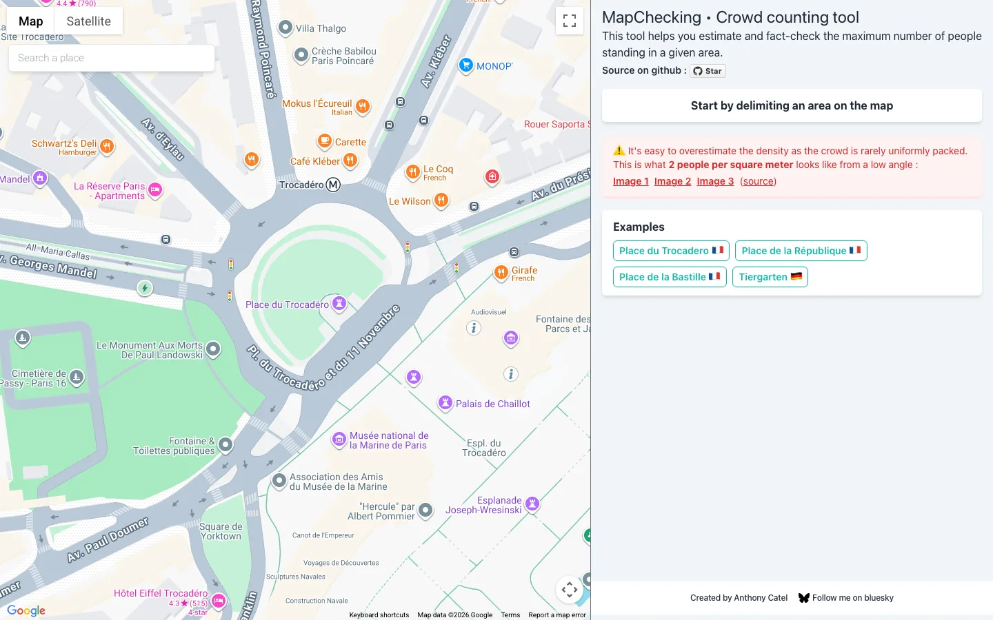
MapChecking
Crowd-size estimation from mapped areas
Best for: Use it when a protest, rally, queue, or public gathering claim needs transparent crowd-size estimation caveats.
Crowd-size estimation from mapped areas

Live interface preview
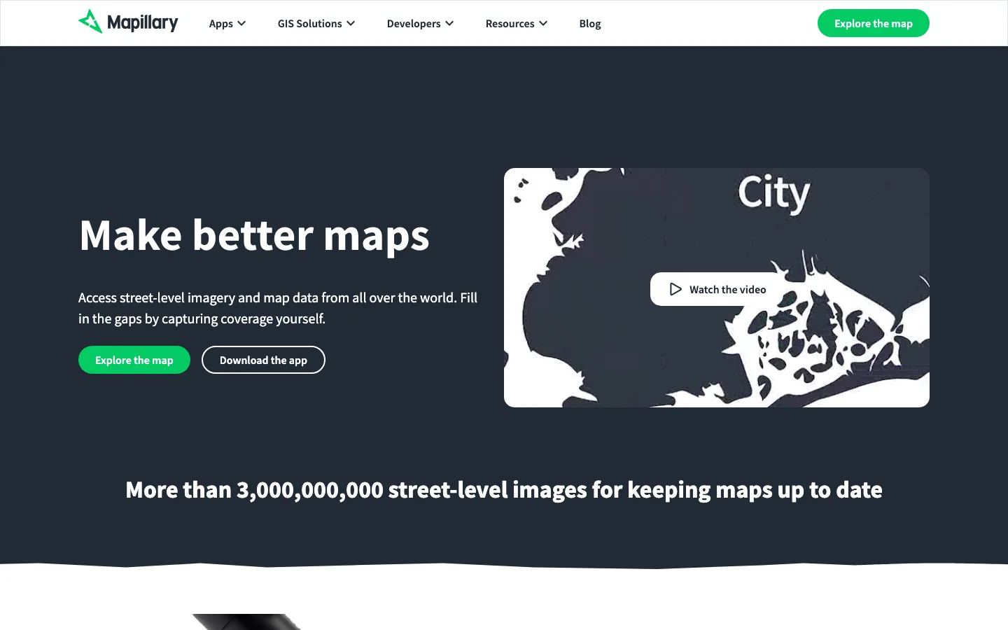
Mapillary
Street-level imagery platform for geolocation and scene context
Best for: Corroborating roads, storefronts, landmarks, signage, and local scene context in geolocation workflows.
Street-level imagery platform for geolocation and scene context
Workflow notes
Use this stack when visual or location claims need spatial context. It moves from broad map inspection into satellite imagery, open-map queries, place-name checks, sunlight reasoning, and crowd-size caveats.