

Tool profile
Sentinel Hub EO Browser
Browser-based satellite imagery exploration
Claims and corrections are reviewed before public profile changes.
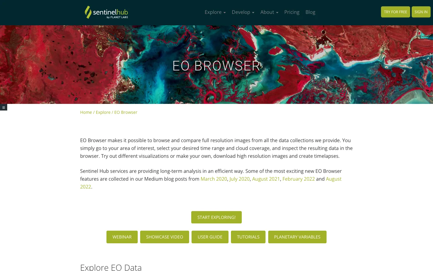

Live interface preview
Sentinel Hub
Browser-based satellite imagery exploration
Best for: Browser-based satellite imagery comparison by date, location, cloud coverage, data collection, visualization layer, and time window.
Signal summary
Trust / disclosure
How to read this profile
Editorial line
Editorial judgment and commercial context are kept separate on OSINT4ALL.
Review status
Hands-on notes or editorial review dates are attached where available.
Claims / submissions
Corrections and claim requests are reviewed before any public change is made.
Commercial context
No commercial relationship is disclosed on this profile.
Editorial verdict
Use case and fit
This is editorial guidance, not vendor copy.
Browser-based satellite imagery comparison by date, location, cloud coverage, data collection, visualization layer, and time window.
Strong bridge between simple map checking and specialist imagery analysis for journalists, NGOs, and investigators.
Best when satellite imagery needs date, layer, cloud, and sensor-aware comparison in the browser.
Operational snapshot
Workflow, access, and coverage
Locate the area, choose date ranges and cloud filters, compare relevant collections, save settings, then corroborate visible changes with maps, local sources, or other imagery.
Interface is English-first. Local place names and transliterations can affect search and should be cross-checked.
Limits
Strengths, caveats, and risk
Accessible EO workflow with date comparison, custom visualization, timelapse, pins, downloads, and multiple satellite data collections.
Remote-sensing interpretation can be difficult; clouds, resolution, revisit timing, and visualization choices can change the conclusion.
Not every event is visible, not every area has useful resolution, and visible change does not automatically explain cause or responsibility.
Satellite images can be overinterpreted without ground truth, seasonal context, sensor knowledge, or awareness of cloud and resolution artifacts.
Check EO Browser, Sentinel Hub, and source collection licensing/attribution before publishing screenshots or derived imagery.
Use imagery as evidence only when date, sensor, location, visualization, and interpretation limits are clearly documented.
Alternatives
Alternatives
Google Earth for orientation, Overpass Turbo for OSM feature context, Mapillary for street-level corroboration, and InVID for visual-claim workflows.
Maintenance
Last verified & suggest an update
Help keep this profile accurate. Update requests are reviewed and logged before publication.
Last verified: 2026-05-07
If something is outdated, please submit a correction or verified update request. Claim requests are reviewed and do not grant editorial control.
Commercial or sponsorship requests use the separate partner workflow.