

Tool profile
NASA Worldview
NASA satellite imagery browsing
Claims and corrections are reviewed before public profile changes.
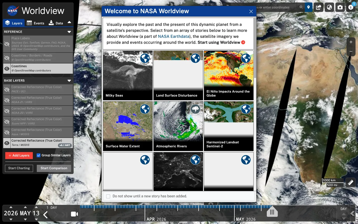

Live interface preview
NASA Earthdata
NASA satellite imagery browsing
Best for: Use it when a geospatial question needs environmental, fire, smoke, weather, or satellite-layer context over time.
Signal summary
Trust / disclosure
How to read this profile
Editorial line
Editorial judgment and commercial context are kept separate on OSINT4ALL.
Review status
Hands-on notes or editorial review dates are attached where available.
Claims / submissions
Corrections and claim requests are reviewed before any public change is made.
Commercial context
No commercial relationship is disclosed on this profile.
Editorial verdict
Use case and fit
This is editorial guidance, not vendor copy.
Use it when a geospatial question needs environmental, fire, smoke, weather, or satellite-layer context over time.
Useful addition when the case specifically needs nasa satellite imagery browsing, not a universal first step for every OSINT workflow.
Best for cases where a geospatial question needs environmental, fire, smoke, weather, or satellite-layer context over time.
Operational snapshot
Workflow, access, and coverage
Start from a scoped question, review only the relevant records, save timestamped evidence, remove weak matches, and corroborate before reporting.
Interface and source coverage should be checked in the language and jurisdiction of the case.
Limits
Strengths, caveats, and risk
Provides a focused workflow for nasa satellite imagery browsing, with practical output that can speed up research when the starting clue is well scoped.
For NASA Worldview, the main friction is that nasa satellite imagery browsing can look more decisive than it is when access level, source freshness, and case context are not documented.
NASA Worldview does not prove final conclusions on its own; its geolocation & mapping output must be checked against source provenance, timestamps, and independent corroboration.
The main risk is overclaiming from partial data, vendor labels, stale observations, or results that look more authoritative than the underlying source allows.
Respect platform terms, privacy expectations, licensing, and authorization boundaries before storing, sharing, or publishing findings.
Use NASA Worldview as structured evidence context, then verify the specific claim that matters before publishing, escalating, or merging it into a case narrative.
Alternatives
Alternatives
Maintenance
Last verified & suggest an update
Help keep this profile accurate. Update requests are reviewed and logged before publication.
Last verified: 2026-05-07
If something is outdated, please submit a correction or verified update request. Claim requests are reviewed and do not grant editorial control.
Commercial or sponsorship requests use the separate partner workflow.