

Tool profile
Global Forest Watch
Forest monitoring, satellite alerts, and environmental geospatial data
Claims and corrections are reviewed before public profile changes.
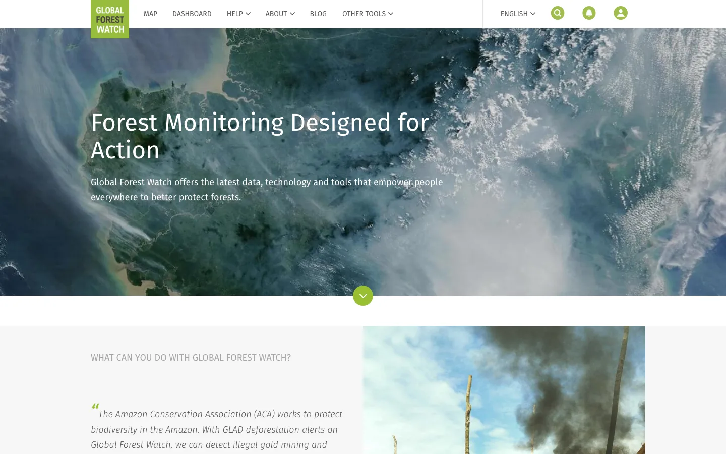

Live interface preview
World Resources Institute
Forest monitoring, satellite alerts, and environmental geospatial data
Best for: Environmental OSINT, deforestation monitoring, forest-change alerts, land-use context, and public-interest geospatial research.
Signal summary
Trust / disclosure
How to read this profile
Editorial line
Editorial judgment and commercial context are kept separate on OSINT4ALL.
Review status
Hands-on notes or editorial review dates are attached where available.
Claims / submissions
Corrections and claim requests are reviewed before any public change is made.
Commercial context
No commercial relationship is disclosed on this profile.
Editorial verdict
Use case and fit
This is editorial guidance, not vendor copy.
Environmental OSINT, deforestation monitoring, forest-change alerts, land-use context, and public-interest geospatial research.
Strong OSINT4 Good candidate for environmental accountability when paired with satellite and local evidence.
Best for environmental OSINT around forest change, satellite alerts, and land-use context.
Operational snapshot
Workflow, access, and coverage
Set area and timeframe, choose the right forest or alert layer, capture metadata, compare with satellite imagery and local records, then distinguish observed environmental signal from responsibility claims.
Local place names, land titles, concessions, and field reports may use local languages or alternate spellings.
Limits
Strengths, caveats, and risk
Combines accessible maps, data layers, and environmental alerts in a form usable by journalists and civil-society researchers.
Map layers can look definitive even when alerts, dates, resolution, and methodology need careful interpretation.
Does not prove illegal activity, responsible party, exact cause, current ground condition, or full land-tenure context by itself.
Misreading satellite alerts or map layers can falsely accuse communities, companies, or governments.
Use caution before alleging environmental violations or illegal land use; corroborate with primary records, expert review, and local context.
Record layer names, dates, resolution, source dataset, and uncertainty before making land-use or deforestation claims.
Alternatives
Alternatives
Maintenance
Last verified & suggest an update
Help keep this profile accurate. Update requests are reviewed and logged before publication.
Last verified: 2026-05-26
If something is outdated, please submit a correction or verified update request. Claim requests are reviewed and do not grant editorial control.
Commercial or sponsorship requests use the separate partner workflow.