This comparison is for investigators, journalists, researchers, and civil-society teams who need to place a movement or environmental claim in geographic context without overclaiming from one map.
Decision rule
Choose OpenSky Network when the lead is aircraft movement, ADS-B history, or aviation context. Choose Google Earth when the job is place recognition, terrain context, historical imagery review, or visual orientation. Choose NASA Worldview when the question involves recent satellite layers, fires, smoke, storms, floods, vegetation, or other environmental signals.
Where each wins
- OpenSky Network is strongest for aviation movement leads and flight-context reconstruction.
- Google Earth is strongest for human-readable geographic context, terrain, landmarks, and historical visual comparison.
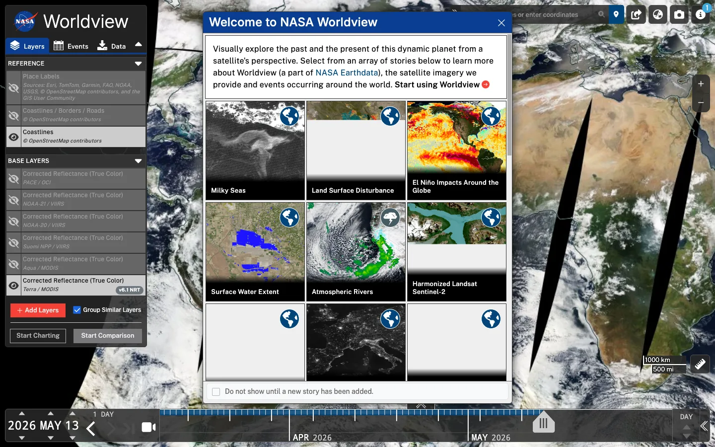
- NASA Worldview is strongest for time-sensitive environmental layers and broad satellite context around weather, fire, smoke, and land signals.
What not to infer
Movement data can be incomplete or safety-sensitive. Map imagery can be old or stitched. Satellite layers can be affected by cloud, resolution, sensor timing, and methodology. None of these tools alone proves cause, intent, responsibility, or legality.
For higher-confidence work, combine movement data with imagery, timestamps, local reports, official statements, registries, and a publication safety review before exposing sensitive routes or locations.